Origin and nomenclature
Khandwari is originally from two words “Khandawari” and “Khandpokhari” and it is said that Khandwari came into being later on (Shrota Sankhuwasabha District Parshwachitra, 2072). There was a large pond in an open area called the present day Khandwari pond. There was a mound in the middle of the pond and there was a big simal tree on that mound. At that time, when the Gorkhali soldiers returned from the pilgrimage to Bhot, they used to perform puja in the mouth of the same pond, make sacrifices and wash their blood-stained weapons, swords, clubs, etc. In this way, this place was known as a place for washing blood-stained legs, and gradually this place was called Khundavari, and it is believed that over time, the word Khundavari became Khandwari after being transliterated. That big pond was around 20-25 years ago.
Similarly, according to the legend, there used to be a big pond in the current Khandbari market (currently, the pond has been buried with the expansion of population). Ducks used to play and live in the pond. Small states of that time used to fight with each other. At the end of the battle, they used to wash their weapons in that pond. The pond was gradually named after the Khand pond. There are also those who say that the same Khandpokhari has been corrupted over time and has become a ditch.
Geographical Location and Political/Administrative Division:
1 Geographical location 3
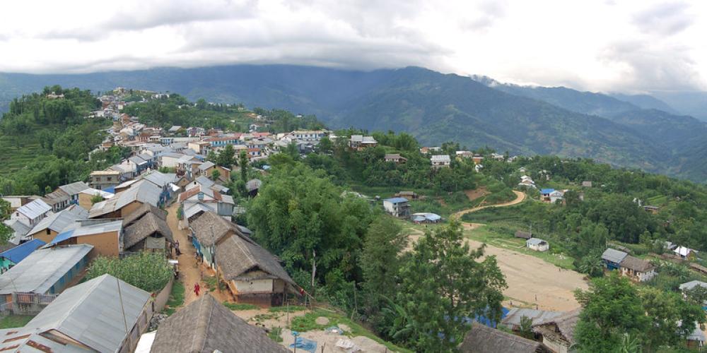
Khandwari Municipality is located at an altitude of about 278 meters (Arun River and Sabhakhola Dobhan) to 2171 meters (Chiangkuti Hill) above sea level. Khandwari on world map (according to geographic coordinate system).
The municipality is located between 2701614″ to 27027’44” north latitude and 57014’27” to 8707’26” east longitude. The total area of the municipality is 122.78 square km. Under this, agriculture occupies about 74.61 square kilometers (60.17 percent) of the area, while forests cover 27.0 square kilometers (21.99 percent), bushes and grasslands cover 16.38 km (13.5 percent), rivers And the barren area occupies 3.79 km (3.09 percent) of land, while the inhabited area is about 0.75 square km, i.e. 0.61 percent of the total land, and Wajho is about 0.05 square km.
1 Political and administrative divisions:
The then Mankamana, Pangma and Malta Village Development Committees were merged into V.S. Khandwari Municipality was established on 18 January 2053. After that, regarding the restructuring of the state, V. No. In 2073, Gavi Khandwari municipality was also established in this same municipality after Sitalpati borough of Savik. There are currently 11 wards in Khandwari Municipality. This municipality is also the district headquarters of Sankhuwasabha district. In the south west region of Khandwari Municipal District


