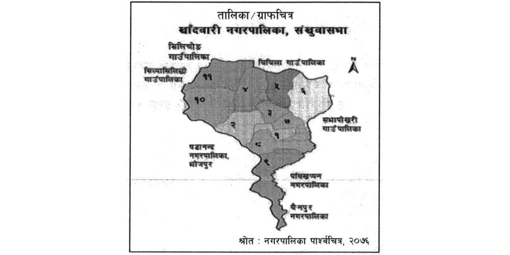
Khandwari Municipality is located at an altitude of about 278 meters (Arun River and Sabhakhola Dobhan) to 2171 meters (Chiangkuti Hill) above sea level. Khandwari on world map (according to geographic coordinate system).
The municipality is located between 2701614″ to 27027’44” north latitude and 57014’27” to 8707’26” east longitude. The total area of the municipality is 122.78 square km. Under this, agriculture occupies about 74.61 square kilometers (60.17 percent) of the area, while forests cover 27.0 square kilometers (21.99 percent), bushes and grasslands cover 16.38 km (13.5 percent), rivers And the barren area occupies 3.79 km (3.09 percent) of land, while the inhabited area is about 0.75 square km, i.e. 0.61 percent of the total land, and Wajho is about 0.05 square km.


